ABOUT THE NATIONAL LEVEE DATABASE
Purpose & History
The National Levee Database captures all known levees in the United States. It provides users with the ability to search for specific data about levees and serves as a national resource to support awareness and preparedness around flooding.
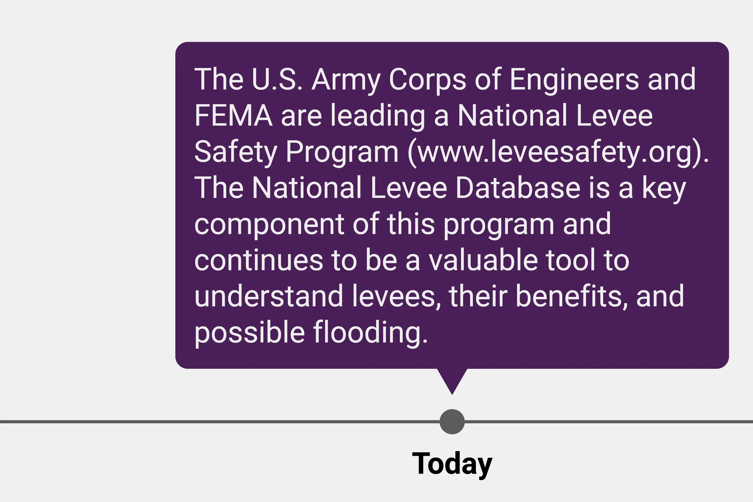
The U.S. Army Corps of Engineers (USACE) is responsible for maintaining the National Levee Database and works in partnership with the Federal Emergency Management Agency (FEMA), and in close collaboration with other federal, state, and local governments and entities responsible for levees to obtain and share accurate and complete information.
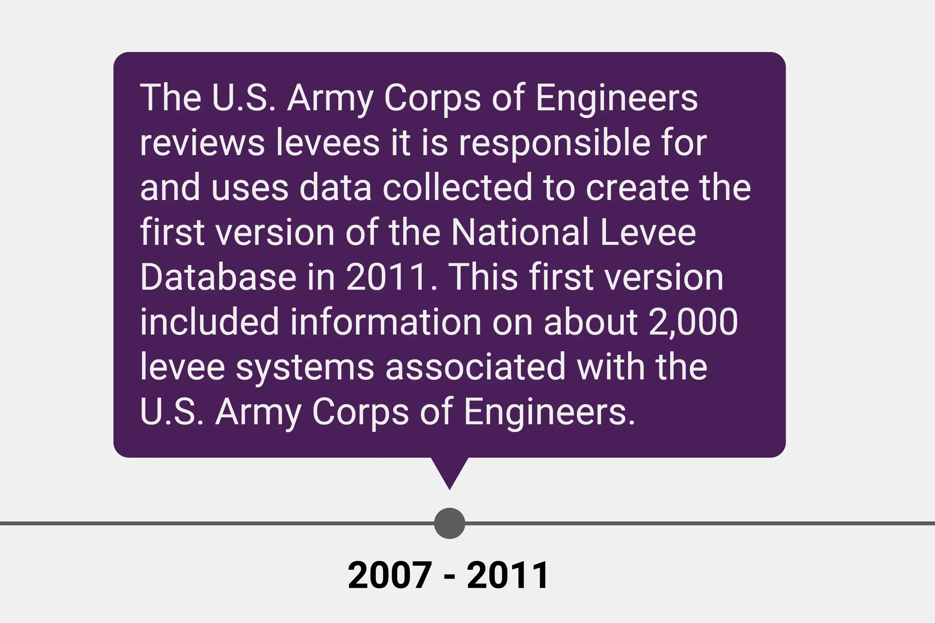
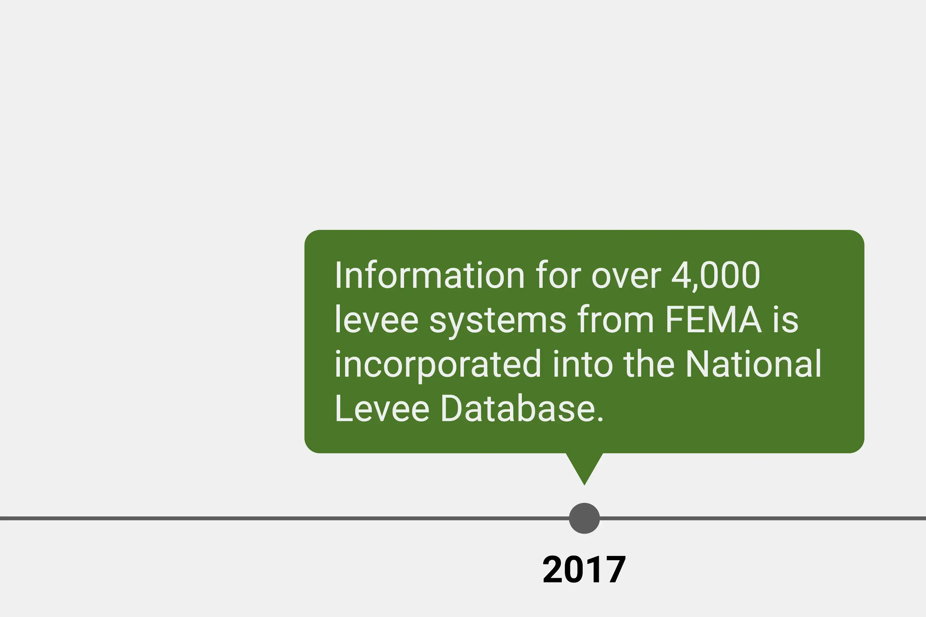
Key data available includes the location of levees, people and assets behind the levee, responsible entity, and other information. Since publishing the National Levee Database in 2011, efforts have been made to improve the accuracy of available data and add new information for additional levees in partnership with those who own, operate, or provide oversight to levees.
How Can Information in the National Levee Database be used?
A Brief History of the National Levee Database
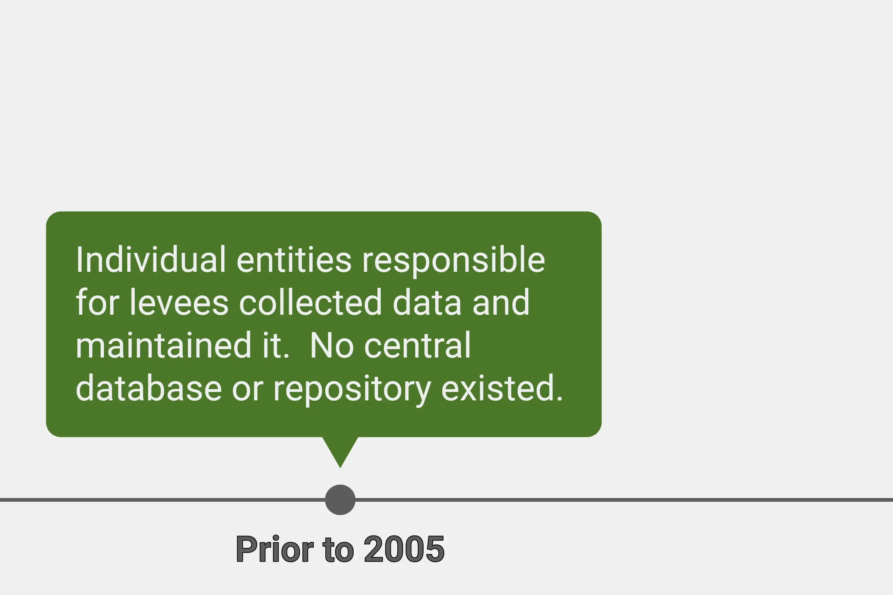
In 2005, there was heightened public awareness of levees as a result of Hurricanes Katrina and Rita. With this awareness came a desire and need to better understand the location and condition of levees across the U.S.
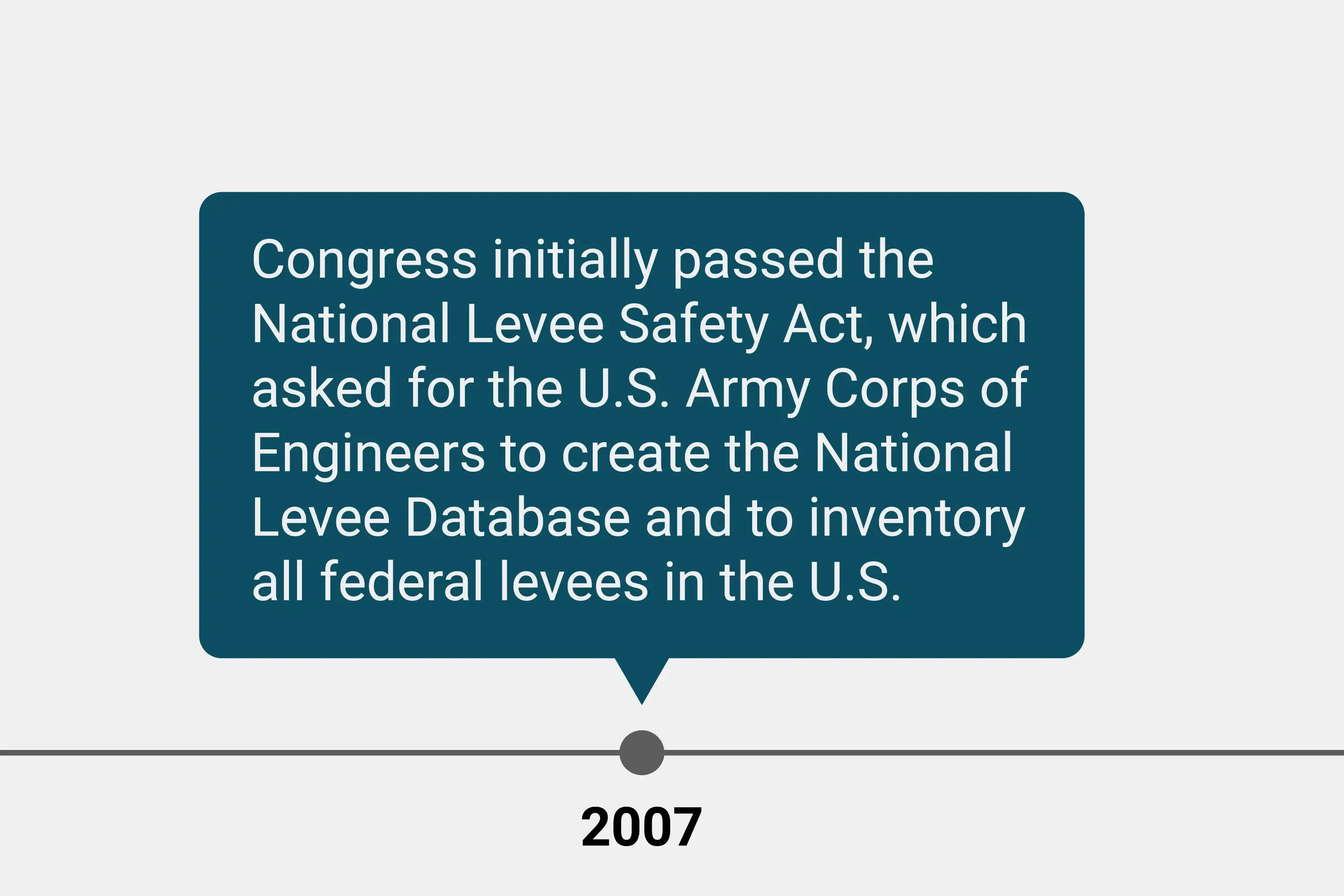
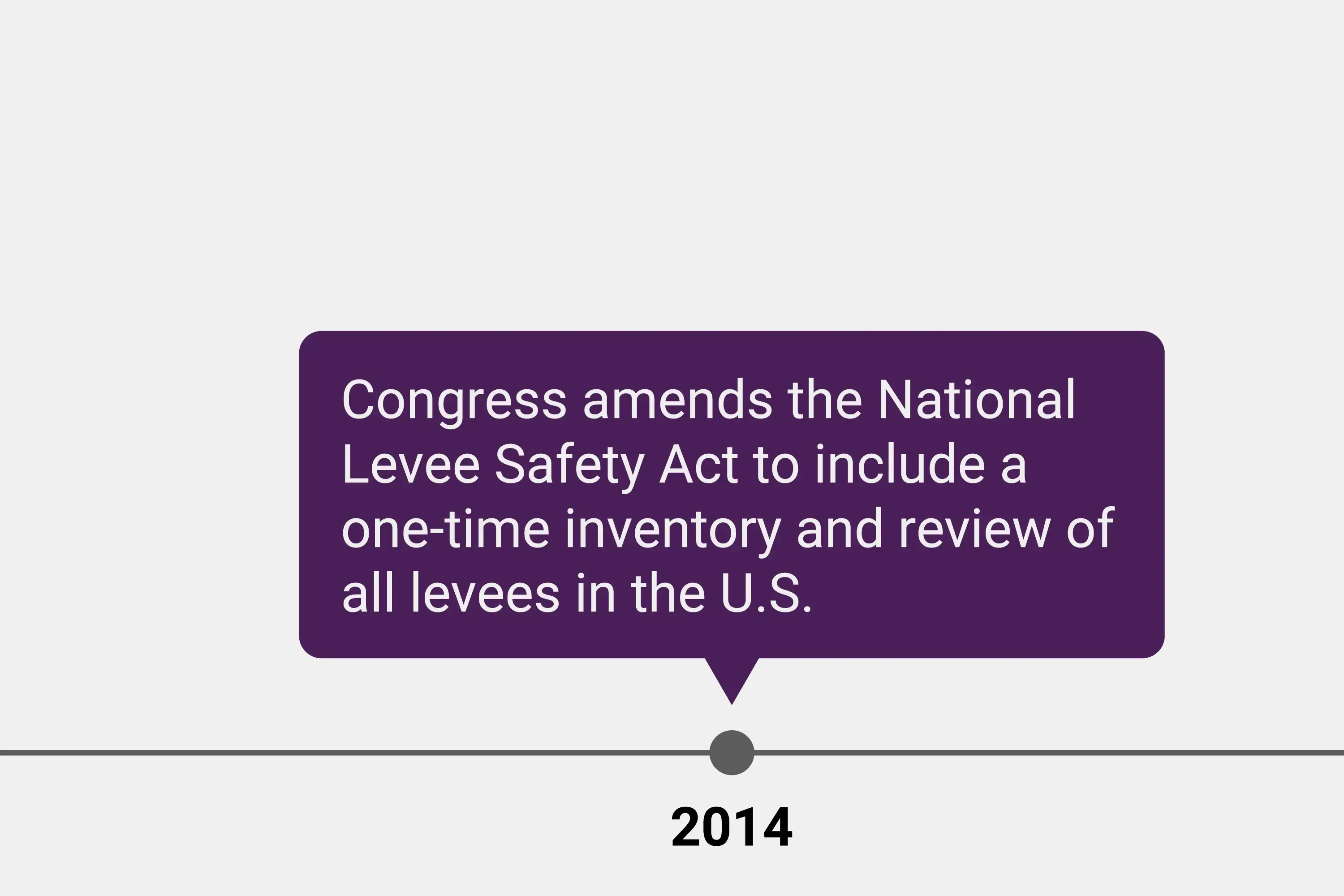
Congress provided initial funding to the U.S. Army Corps of Engineers to complete an inventory and assessment of its federal levee systems. Soon after, the National Levee Safety Act of 2007 was enacted and then subsequently amended (reference 33 U.S. Code Ch. 46) to formalize a National Levee Database and broaden the inventory to all levees across the country.
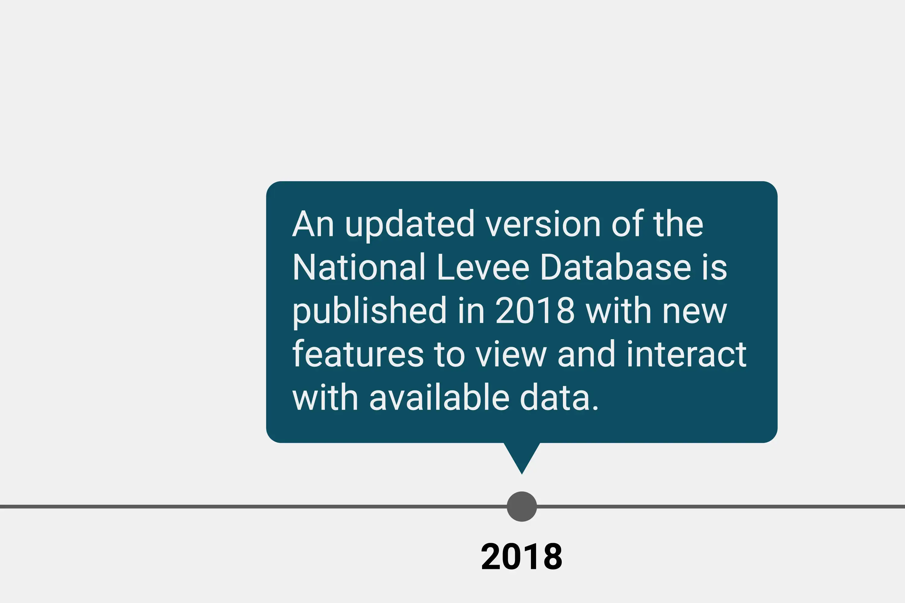
Today, the National Levee Database contains varying information on thousands of levee systems. The data continues to be updated in collaboration with federal, state, tribal, and local agencies, and entities.
Timeline of the National Levee Database
The following visual timeline summarizes the history of the National Levee Database. Swipe through each milestone to learn more.
Who Uses the National Levee Database?
The National Levee Database is publicly available. Regular users include:
-
People who live, work, own or rent property in areas behind levees
-
Levee owners and operators
-
Academia
-
Tribal, local, state, and federal elected officials
-
Engineering and construction companies
-
Media
-
Federal law and decision makers
-
Entities responsible for floodplain management
-
The insurance industry
-
Local emergency management agencies
-
Non-profit organizations
It’s important to note that the data available for levees currently varies. If you have questions about available data and how to use it, please contact the National Levee Database Helpdesk by emailing NLD@usace.army.mil.
Did You Know?
A national dataset to support consistency in infrastructure management is not new – the National Inventory of Dams is similarly used to collect and display what is known about dams and support flood awareness and preparedness. Check out the National Inventory of Dams here.
